Wang Yu
Ph.D. Student in Computer Science
The Chinese University of Hong Kong, Shenzhen
Email: wy892322@icloud.com
Google Scholar: Link
Github: vvangfaye
CV: [EN]
Experience
I am a Ph.D. student in Computer Science at The Chinese University of Hong Kong, Shenzhen, advised by Prof. Li Jiang. I received my B.Eng. and M.Sc. degrees from Wuhan University, advised by Prof. Yansheng Li.
My current research centers on Embodied AI and Spatial Intelligence, with a focus on mobile manipulation, UAV vision-language navigation (VLN), and agentic policy learning. In addition, I maintain an active interest in my previous research in Geospatial AI (GeoAI) and Remote Sensing, particularly in multimodal Earth observation and geographic object vectorization.
Selected Publication
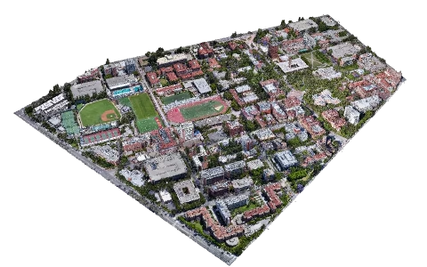
Urbex: Agentic Spatial Grounding for City-Scale 3D Scenes
Conference on Neural Information Processing Systems (NeurIPS), 2026
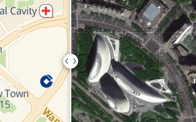
Urban Socio-Semantic Segmentation with Vision-Language Reasoning
International Conference on Learning Representations (ICLR), 2026
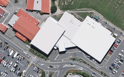
HoliTracer: Holistic Vectorization of Geographic Objects from Large-Size Remote Sensing Imagery
International Conference on Computer Vision (ICCV), 2025
Other Publication
Full-Scope Vectorization of Geographical Elements from Large-Size Remote Sensing Imagery
IEEE Transactions on Pattern Analysis and Machine Intelligence (TPAMI), 2026 [paper]
Learning to Reason over Multi-Granularity Knowledge Graph for Zero-Shot Urban Land-Use Mapping
MEET: A Million-Scale Dataset for Fine-Grained Geospatial Scene Classification with Zoom-Free Remote Sensing Imagery
IEEE/CAA Journal of Automatica Sinica (JAS), 2025 [paper]
Open-Source Project
Geo2Graph
Web App
Text/Image/Shape to graph representation, including data and algorithm’s visualization.
[code]
珞-Sky
Web App
Online interpretation of satellite imagery. Second Prize in 11th China Software Cup, 2022.
SLAI-App
Mini Program
WeChat native mini-program for campus course schedules, attendance tracking, and calendar management.
[code]